blah blah blah
Champney and Pitcher Falls
Length: 3.4 miles out-and-backDifficulty (click for info): Easy
Elevation Gain: 700 feet
Rating (click for info): 6/10
Height: 70' (Champney) and 35' (Pitcher)
River: Champney Brook
Driving Directions:
Trailhead and parking area are located on the south side of the Kancamagus Highway in Albany, NH, 24.6 miles east of Rt. 93 at exit 32 in Lincoln and 10.6 miles west of Rt. 16 in Conway. Click here for a Google map.
About the Hike:
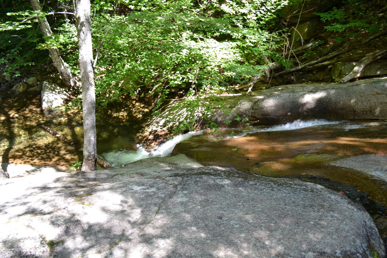
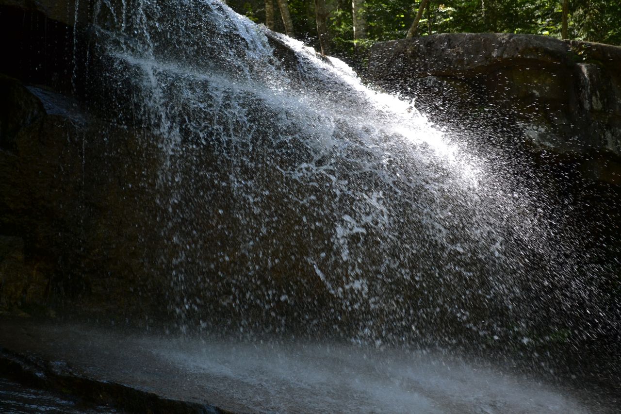
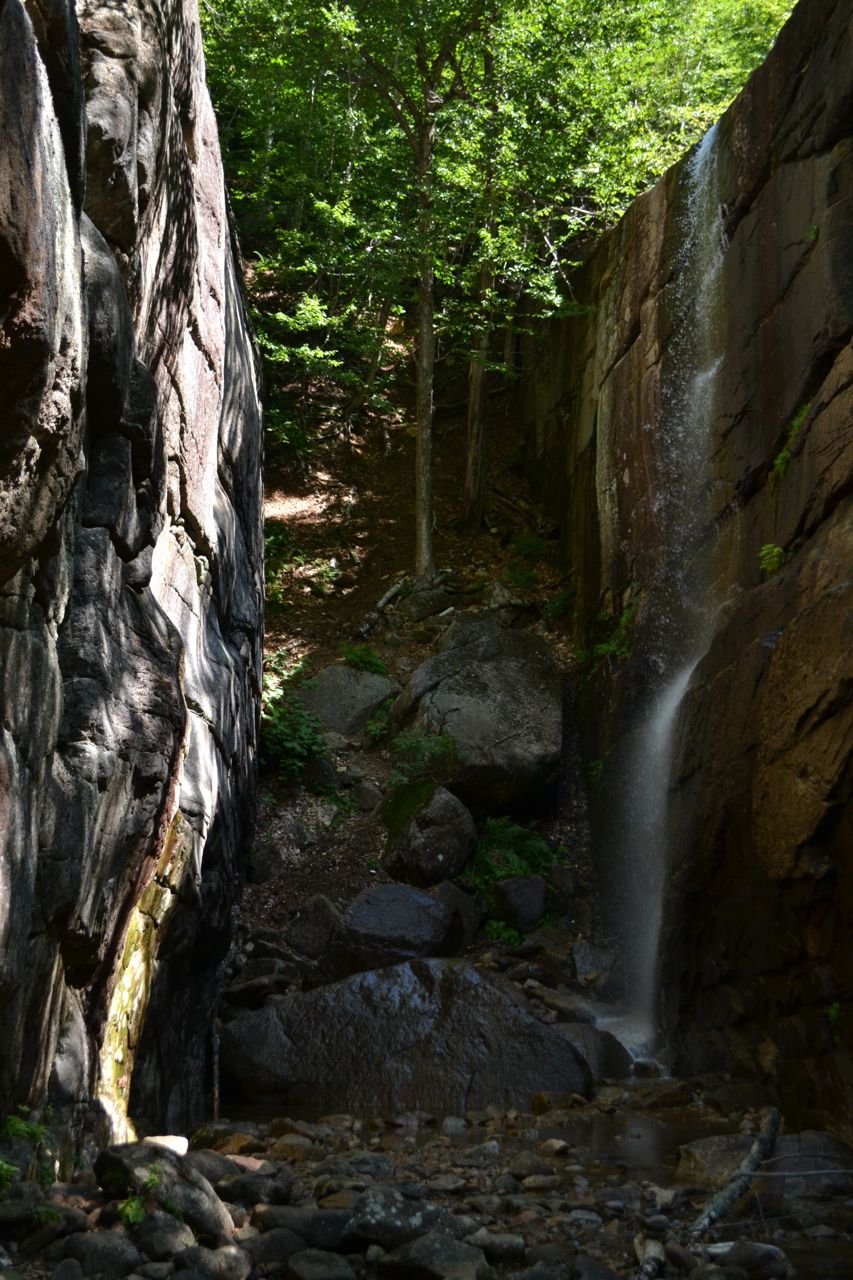
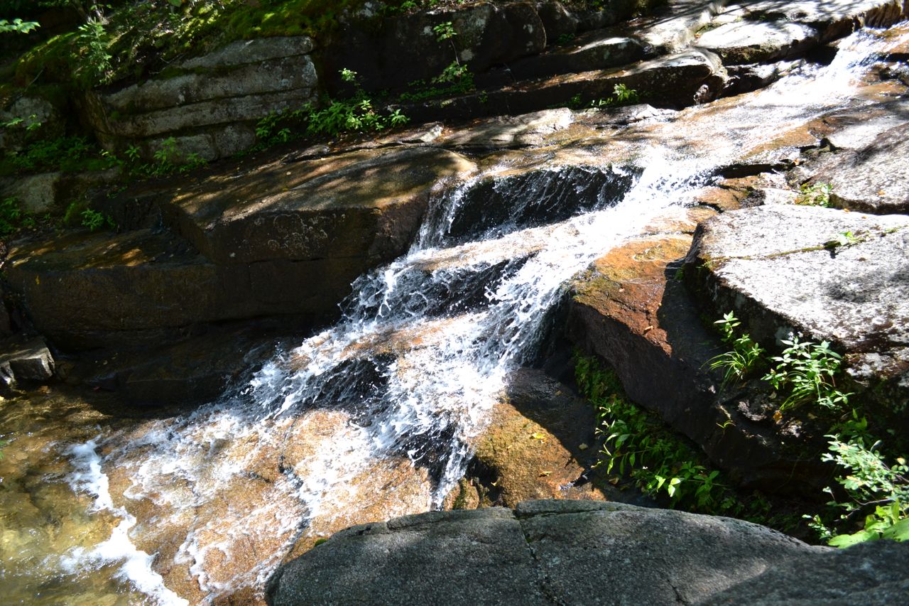
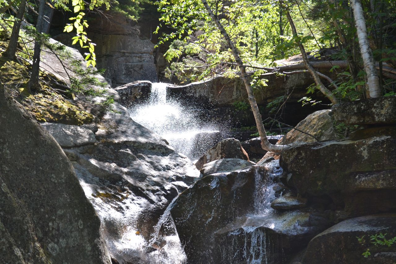
Champney and Pitcher Falls are two waterfalls flowing from the side of Mt. Chocorua. They have the unique quality of being located right beside each other, on two converging brooks. Champney Falls, an average series of little cascades, with its many drops and pools, invites splashing on a hot day. Pitcher Falls, set back in a gorge, is less accessible, but more interesting.
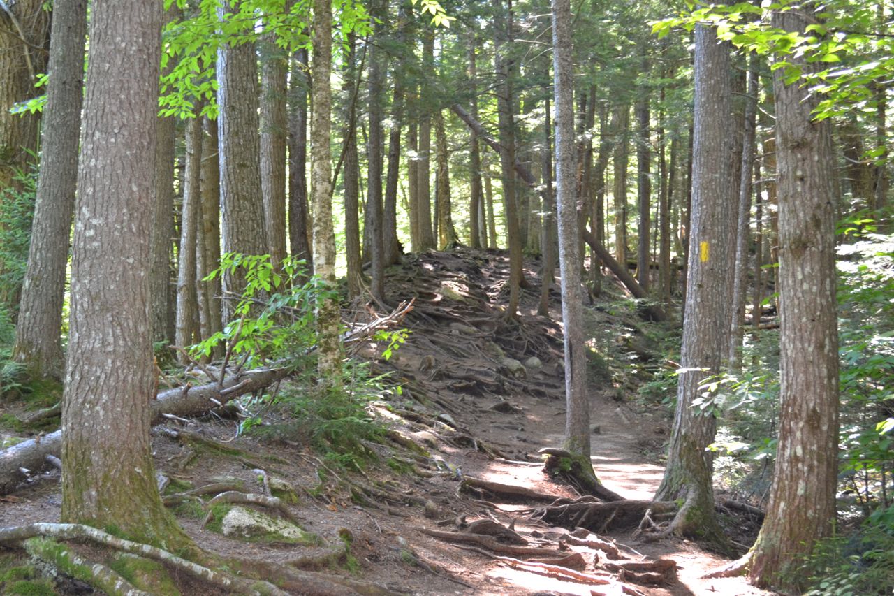
The Champney Falls Trail, which goes on to Mt. Chocorua, starts on the south side of the Kancamagus Highway. Immediately after beginning, the trail crosses Twin Brook on a bridge. Immediately after crossing, bear left to stay on the trail where Bolles Trail goes right to recross the brook. After heading deeper into the woods, the trail meets Champney Brook, and follows it for the entire hike. It is a slow, steady climb up to the falls. The brook is visible for much of the way. At 1.4 miles, turn left onto Champney Falls Loop and continue 0.2 miles to the waterfalls.
Champney Falls is closest to the trail, but only the lower part, a short and wide plunge is visible. Further away from the trail is a tall, narrow gorge, walled in by rock on three sides. From the top of the right face of this formation flows Pitcher Falls, where a feeder stream of Champney Brook plunges over the cliff in a tall, narrow, and perfectly rectangular sheet. Just up the trail is the upper part of Champney Falls. Here, the waterfall is a chain of small plunges, cascades, and pools.
Printable directions page